
LiDAR Solutions
YellowScan’s product line is fully-integrated with embedded laser scanner, INS, GPS, batteries, and onboard computing. We designed each system to meet high precision and accuracy needs for 3D mapping.
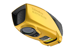
Navigator
Voyager
Explorer
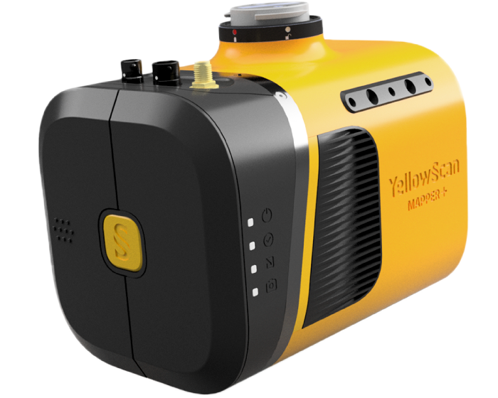
Mapper+
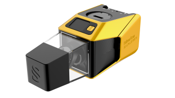
Fly & Drive
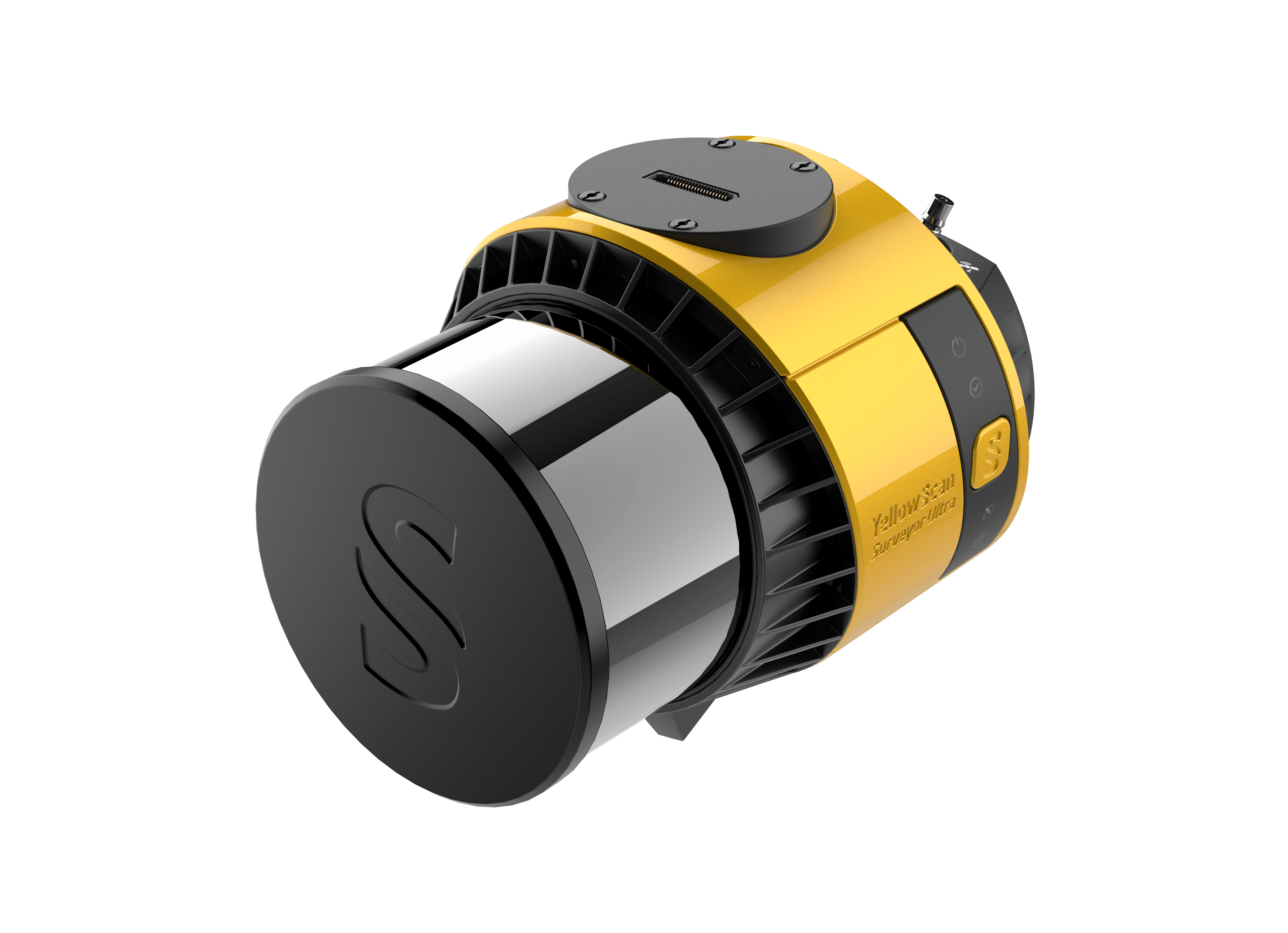
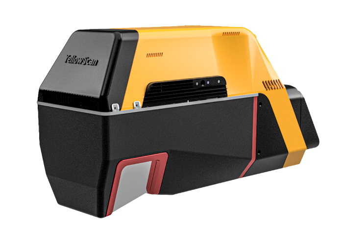
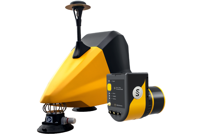
Surveyor Ultra
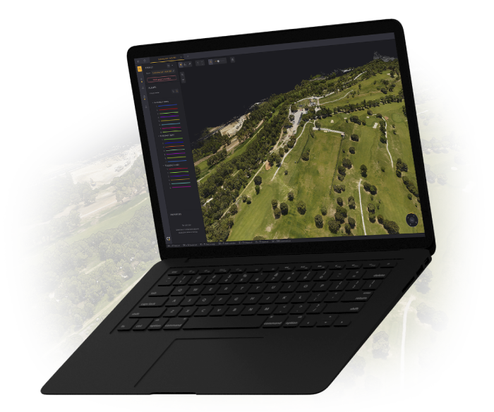
Cloudstation
CloudStation provides a complete software solution to create and manipulate point cloud data. It allows to extract, process and display data immediately after the acquisition flight. The auto-generation of strips and the production of LAS files are now done in only few clicks.
 Learn More


Let’s Get In Touch
Want to get in touch? We’d love to hear from you. Here’s how you can reach us.
Learn More